

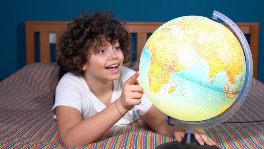
Maps help children understand how places connect, where familiar landmarks are located, and how people find their way from one destination to another. Although conventional maps may seem complicated to preschoolers, simple drawings, recognizable symbols, and playful navigation activities can make geography accessible. By beginning with familiar environments, parents and educators can introduce important concepts such as location, direction, and distance. Such early experiences encourage spatial reasoning while helping children develop a stronger understanding of the world around them.
Start With a Map of a Familiar Room
Young children often understand their surroundings before they understand how those places can be represented on paper. Begin by examining a classroom or bedroom together. Point out recognizable features, such as a table, doorway, bookshelf, and rug. Explain that a map is a drawing showing where things are located.
Next, create a simple overhead map using basic shapes. A rectangle might represent a table, while a smaller square represents a bookshelf. The classroom mapping approach introduces children to viewing familiar spaces from above. Encourage them to compare the drawing with the actual room, identifying objects that appear on both.
Introduce Symbols Through a Homemade Map Key
Maps often use symbols to represent objects, buildings, or other important features. Preschoolers can explore this concept by creating a simple map key, also called a legend. Begin with three recognizable symbols, such as a tree for the playground, a book for the library corner, and a circle for a classroom table.
Draw the symbols beside short labels, then place matching pictures on a classroom map. Ask children to identify what each picture represents. The early map-symbol activities demonstrate how familiar objects can be represented using drawings and explained through a map key.
Once children understand the symbols, invite them to invent additional ones. Keep the pictures simple and recognizable. A complicated or abstract symbol may be difficult for a young child to connect with a real object.
Practice Positional Words With Toy Figures
Before introducing compass directions, help children become comfortable describing where objects are located. Words such as beside, between, above, below, near, and far provide an accessible foundation for understanding geographic relationships.
Create a small imaginary neighborhood using large building blocks and toy figures. Arrange a school, store, playground, and several houses on a table. Ask children to place a figure beside the school or between the store and playground. The early spatial-language activities emphasize practicing positional vocabulary through movement and familiar surroundings.
Next, sketch the toy neighborhood on paper and repeat the instructions using the map. Children can move their figures between locations while describing where they are going. This connects physical movement with the symbols and positions represented in drawings.
Make a Neighborhood Map Using Familiar Landmarks
Once children understand simple classroom maps, introduce a slightly larger area. Take a supervised walk around the neighborhood or school grounds, pointing out recognizable landmarks such as a playground, library, grocery store, or unusual tree.
After returning indoors, invite children to draw the route they traveled. Begin with the starting location, then add several landmarks in approximately the correct order. The neighborhood map-making activity provides a practical model for using familiar places and observations to create simple maps.
Encourage children to use pictures rather than worrying about accurate distances or proportions. A large drawing of a favorite playground is perfectly acceptable. The objective is to recognize relationships between locations and begin representing those relationships visually.
Explore Directions Through Movement Games
Physical movement can make directional vocabulary easier to understand. Start with instructions involving familiar actions: step forward, move backward, turn left, or turn right. Children can practice following directions while navigating a simple obstacle course made from cushions, large blocks, or floor markers.
Next, introduce north, south, east, and west as the four main compass directions. Explain that these directions remain fixed even when someone turns around. Mark the directions around the classroom using large signs, checking their orientation with a compass.
The cardinal-direction activities provide ways to introduce these concepts through guided practice. Preschoolers do not need to memorize all four directions immediately. Begin with one or two, then gradually connect the labels to classroom locations.
Create a Treasure Hunt Using Simple Maps
A treasure hunt gives children an opportunity to apply their new mapping skills. Hide a large toy or picture somewhere in a familiar room. Create a simple map showing furniture and other landmarks, then mark the hiding location with a star or an X.
Give children the map and encourage them to find the hidden object. If necessary, provide clues such as "walk past the table" or "look beside the bookshelf." The treasure map activity connects two-dimensional drawings with real-world navigation.
After completing the challenge, invite children to create their own maps for classmates or family members. This reverses the activity: instead of interpreting directions, they must think about how to communicate a location clearly.
Building Early Geography Skills Through Exploration
Introducing maps to young children works best when lessons begin with places they already recognize. Classroom drawings establish the purpose of maps, symbols help represent familiar objects, and movement games introduce directional language. Neighborhood investigations and treasure hunts then allow children to combine these skills.
Parents and educators can reinforce learning by discussing locations during everyday activities, asking children to identify landmarks, and encouraging them to explain routes. Rather than expecting precise mapmaking, focus on curiosity, observation, and communication. These experiences can provide a useful foundation for later geography lessons while helping children understand their surroundings with greater confidence.